[video] Scientists officially map out Earth’s 8th continent
The 5 million-square-kilometer sunken land isn’t Atlantis, nope, it’s called Zealandia.
When Dutch explorer Abel Tasman and his crew moored in 1642 on the island now known as New Zealand, he was convinced of discovery of a new continent, which was called Tasmantis by Europeans and Te Riu-a-Maui by the Maori people.
Yet his name got attached to the Australian island state of Tasmania, while Tasmantis remained only in the imagination of researchers for centuries, many believing that it was about Atlantis in the middle of the Pacific Ocean.
More to read:
Jules Verne was right: Oceans are hidden beneath Earth
After nearly 375 years of speculation, a team of scientists from Australia, New Zealand, the United States, and Denmark has proved that Mr. Tasman was right after all and the 8th continent did exist.
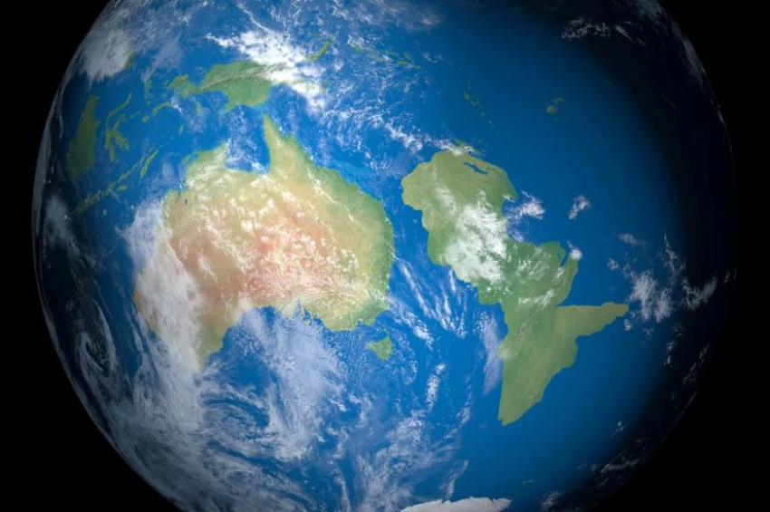
In a new study published in the journal Tectonics last September, the authors announced that they have finished mapping out the continent, Zealandia, which stretches out on 4.9 million square kilometers. Most of it is submerged but breaks the surface of Pacific waters as the island of New Zealand.

With the support of the GNS Science Institute, the researchers obtained geological samples from the sunken land and found a veritable treasure trove of minerals, including multiple types of sandstone, basaltic lava, and limestone.
Based on those samples, they also found explanations to local magnetic anomalies, concluding that they were actually dealing with a continent mostly covered by water.
Zealandia and Australia are not brothers
The study posits in its illustrated open content that the largest part of Zealandia (94%) got swallowed by the ocean due to the movement of tectonic plates, which began to crack.
In spite of their relative proximity, Zealandia and Australia are distinct continents. As a matter of fact, the team suggests, Zealandia was part of a supercontinent called Gondwana some 550 million years ago, along with Antarctica, which broke off while “Tasmantis” succumbed to water.
This whole process occurred during the early Cretaceous through the Eocene ages – 130 million to 40 million years ago – with the separation peaking completion 83 million years ago.
The team began working on this project almost ten years ago and published the first theories in 2017, in the journal of the Geological Society of America.
Three years earlier, Nick Mortimer and Hamish Campbell – two key researchers involved in the project – published the book “Zealandia: Our continent revealed” to argue for their cause.
More to read:
Scientists announced the start of a new epoch in Earth’s history
Whether Zealandia will be added to official maps around the world as the smallest, thinnest, and youngest continent on Earth is a question worth considering, but geology and history books must surely be updated.
In 2024, the U.S. National Aeronautics and Space Administration will team up with the Indian Space Research Organization to launch and operate a probe that will scrutinize the planet’s surface in greater detail, including underwater regions.
Is Atlantis next?
***
It's rare to see someone donating to support a science blog [PayPal: @newscafeeu / IBAN - RO50BTRLEURCRT0490900501, Swift - BTRLRO22, Beneficiary - Rudeana SRL]. If you do so - thank you dear reader. Otherwise you may click on ad banners on our website. Any help makes us hopeful.